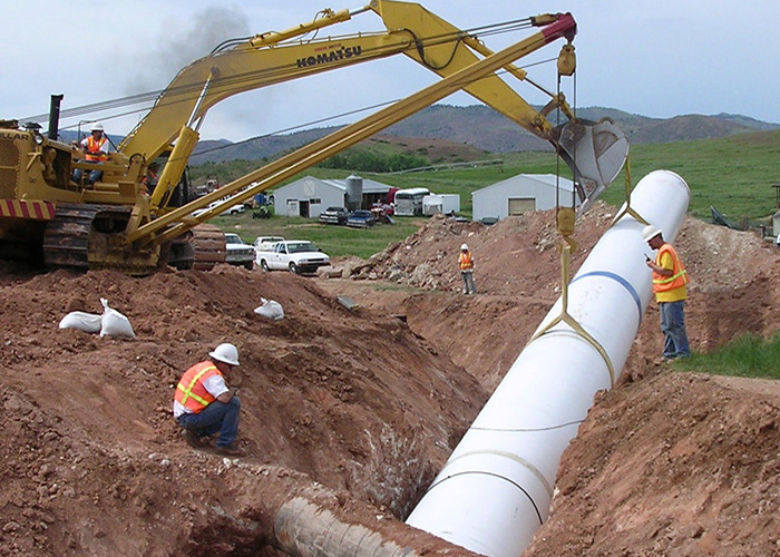
Pleasant Valley Pipeline
Pipeline Increases Flexibility
The Pleasant Valley Pipeline Project is a joint effort between Northern Water, Fort Collins, Greeley and the Soldier Canyon water districts (East Larimer County Water District, Fort Collins-Loveland Water District and North Weld County Water District) to increase the flexibility and reliability of water deliveries. The raw water transmission pipeline serves to increase water supply reliability and flexibility for each of the participants.
The 8.5-mile buried pipeline carries Poudre River water from the Munroe Gravity Canal to the Fort Collins and Soldier Canyon water treatment plants during summer. In the winter flows are reversed, sending water from the Soldier Canyon outlet at Horsetooth Reservoir to Greeley’s Bellvue treatment plant near the Poudre River.
Prior to pipeline construction, Fort Collins and the Soldier Canyon water districts were heavily dependent on Horsetooth Reservoir during the summer. Likewise, Greeley primarily relied upon the Poudre River to supply its Bellvue plant during the winter. The Pleasant Valley Pipeline provides all participants with additional flexibility, increasing the overall reliability of their water supplies.
The Pleasant Valley Pipeline operates as a separate entity from its parent, Northern Water, and is managed as a water activity enterprise. Funding is provided by project participants.
No Need for Pumps
The pipeline is designed to flow by gravity in each direction without the need for pumps, associated infrastructure or power costs. It provides project participants with reliable and flexible water deliveries, including a consistent flow from either the Poudre River or Horsetooth Reservoir to the appropriate treatment plants.
Construction Completed in 2004
Plans for the pipeline began in 1997 and construction was completed in March 2004. We acquired easements along the 8.5-mile route, which crosses 39 different properties. The final pipeline route took into account impacts to wetlands, plant and wildlife habitat, existing and proposed land uses, and designated conservation sites.

