Jan. 21, 2025

Northern Water Drone Program

Drone footage gives people a unique perspective of a project, flying high above to obtain a bird's eye view. In recent years, Northern Water has launched a drone program to capture unique footage to share project updates, program accomplishments and more.  

The program was initiated to provide cross-discipline aerial data collection (including photos, video, imagery and various derived geospatial products) capabilities for various applications across all Northern Water activities. The GIS team is currently using drones for project management and communications. Recent videos on Northern Water’s YouTube channel featuring drone footage include the Colorado River Connectivity Channel Dedication and Eastman Park Wetland Experience.   

"There are many benefits to drone use," Sean Blue, Northern Water's IT Department Manager, said, "including capturing angles and visuals that would be impossible to obtain otherwise, but are important for both storytelling and system maintenance." Currently, Northern Water has two Federal Aviation Administration (FAA) part 107 certified drone pilots. Through a partnership with Colorado State University the two received training and licensure. Though extensive, training drone pilots in-house saves thousands of dollars over outsourcing to a drone videography company. To become licensed, new pilots must take a training course, pass an initial aeronautical knowledge test and complete a review flight. 

A Northern Water employee and drone pilot flies a drone over the Eastman Park Wetland Experience in 2024
Madison Wood, GIS Analyst II and certified drone pilot, flies a drone over the Eastman Park Wetland Experience in Windsor, CO.

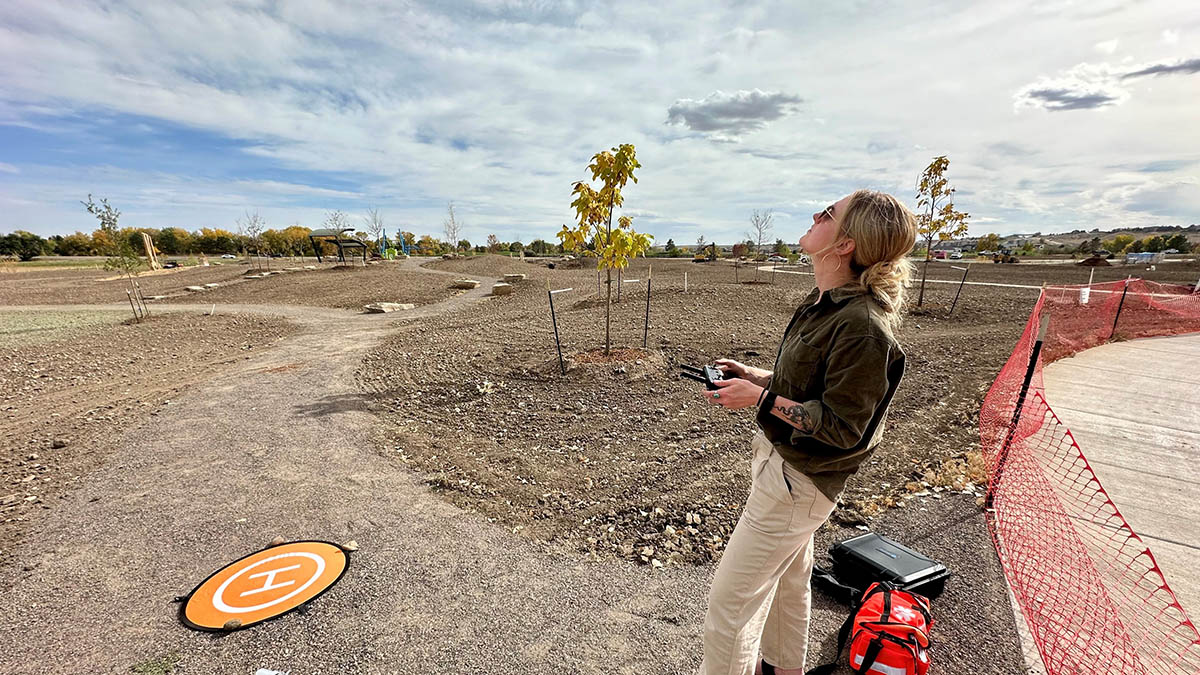
“The next step for the program is to develop and refine policies and the overall workflow for drone operations for Northern Water,” Blue said. “We’re also developing a UAS Operations Training Program that will allow us to certify current and future pilots.”  

As the organization’s drone program continues to grow, future possibilities include infrastructure inspection and asset management, construction projects, right of way, water quality, wildfire recovery planning and assessment and herbicide spray. Phase two of the program will harvest data through a combination of full motion video, multispectral and precision video measurement tools, enabling Northern Water to benchmark infrastructure status and forecast preventative maintenance schedules. Other organizations have performed case studies on the benefits of drone use and have found they improved safety and data quality and lowered overall operational costs.